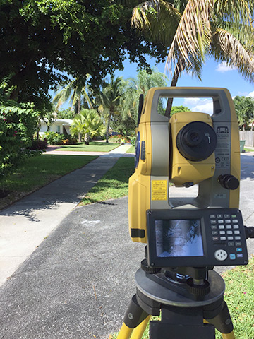
Topographic Surveys
A Topographic survey is used to show different elevations around the designated survey area. These are most often used a the start of a construction or home improvement project to show the lay of the land. In addition to the various elevations this particular survey will show key features as determined by the client that may be required.
The surveyor and mapper devise a method of reporting topographic features intended to be surveyed and mapped, along with the style of cartographic representation employed for each, and the degree of intended completeness in the surveying and mapping of each feature.