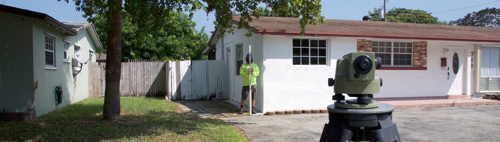
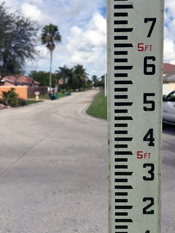
Elevation Certificates
Elevations certificates are professional certificates used for the purposes of acquiring flood insurance. The certificate shows the relation of the client’s Home Elevation to Base Flood Elevation provided by the respective floodplain management community. The National Flood Insurance Program (NFIP) was established to help protect both public and private structures from flooding by providing adequate flood insurance and establishing flood maps. Flood plain maps change from time to time, so just because you may have not needed flood insurance in the past, check the most up to date flood maps and make sure you are covered. If you were recently zoned for a flood zone and are now required to have flood insurance, contact us and we can schedule an appointment for an elevation assessment.
LOMA / LOMR – Letter of Map Amendment & Letter of Map Revision
Occasionally homeowners may be incorrectly designated for a certain flood zone and want to file paperwork to reclassify the property. In these instances the homeowner will file a LOMA or LOMR. The Letter of Map Amendment (LOMA) and Letter of Map Revision (LOMR) are used to address instances where a homeowner was incorrectly placed into a Special Flood Hazard Area (SFHA) on a Flood Insurance Rate Map (FIRM). This process is called a Letter of Map Change (LOMC). If you feel your property is wrongly classified, contact us and we can check your properties elevation and file all the necessary paperwork for the LOMC. For more information on LOMA and LOMR and the corresponding forms visit FEMA.gov.